
Horoka Tomamu Maps
The standard topographical maps are at 1:25,000 and 1:50,000. There is also a fine geological map at 1:50,000. The mapping on Google Earth and Google Maps has recently been improved.
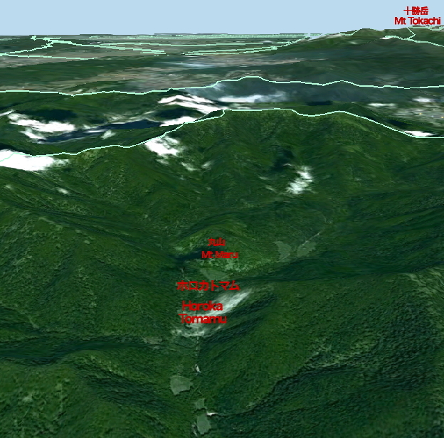
1. Google Earth view of Horoka Tomamu from due south. Mount Tokachi in the top right corner is part of Daisetsuzan National Park. (The pale turquoise lines are local government area boundaries that follow mountain ridgee.)
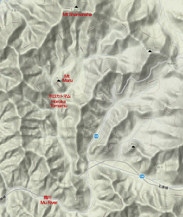
2. Topographical map showing Mt Maru in the centre of the mountain valley created by the Horoka Tomamu River. Mr Maru (661 m.) is surrounded by peaks above 800 metres, of which the highest point is Mt Shamansha at 1,062 m. (The Hokoka Tomamu stream flows into the Mu River (Mukawa), which flows south west until it eventually reaches the Pacific Ocean.)
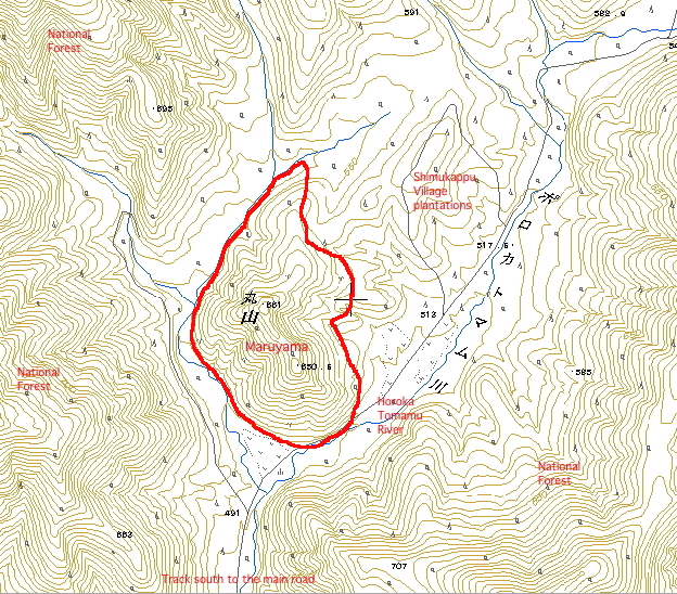
3. From the standard 1:25,000 map (1997). This gives the height of the mountain as 661 metres. Other maps give 666 or 672 metres. While larger-scale maps have been provided by the Shimukappu Village office and the Forest Cooperative, little real surveying seems to have been done in the past, and as far as we know land borders are not marked on the ground.
SCH, 2010, revised 28 December 2016